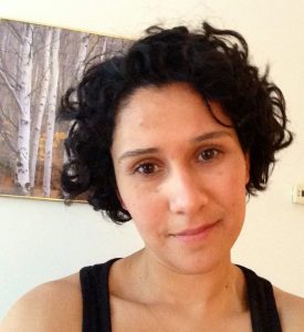
Jazmin Varela
Jazmin Varela currently works at The Conservation Fund where she provides mapping and analysis support for their strategic conservation work. She specializes in sophisticated Geographic Information Systems (GIS) mapping to capture key geospatial features of land at different scales.
Varela holds a Master of Environmental Management from Duke University’s Nicholas School of the Environment with a Certificate in Geospatial Analysis.
Originally from Costa Rica, she has spent the last 17 years living in the United States. She began her conservation career while studying at Universidad Nacional before moving to the US. She often visits her homeland including a three month stay in 2006 working and collecting data on logging of secondary forest of the Northeastern lowland forests of Costa Rica. It was this experience that exposed her to some of the unintended consequences of poorly crafted regulations and incentives and what has led her to explore a free market approach to crafting conservation incentives for private landowners. She holds a Bachelor of Science in Geography from Appalachian State University with a minor in Biology. She enjoys running half marathons, road bicycling, mountain biking, swimming, reading, cooking, gardening and traveling.