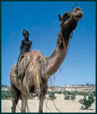
 The Sahel region along the southern border of the Sahara desert was once the home of vast trading empires. Although drought and famine were unavoidable components of life in this harsh region, the people were relatively prosperous and developed agricultural and livestock practices that allowed local populations to endure and recover from the extremes of nature (Office of Technology Assessment 1986).
That era contrasts sharply with the stark poverty and the barren lands so prominent in the Sahel today. During the twentieth century, the fragile ecological zone was been unable to sustain its growing population. Increased pressure on the land made the inevitable droughts more ruinous, and the dramatic famine of the 1970s prompted urgent calls to reverse the devastating toll of “desertification.” Yet science suggests that advances in the desert may be temporary, with vegetation returning as the rains return. Recent scientific studies based on satellite images found that the Sahara is receding in places, making farming viable again in areas lost to the desert in the 1980s (Pearce 2002).
As an operational concept, the term desertification is nebulous, a murky mix of climatological variables and human activities that degrade lands in arid or semiarid regions (Morris 1995). Yet strictly climatic explanations do not offer insight into the real problem, nor do broad assertions that local population pressure has destroyed the region. The failure to cope with drought in the Sahel originated in the French colonial disruption of the indigenous system of property rights and market interactions, followed by independent governments’ policies and aid from other nations that intensified pressure on the land.
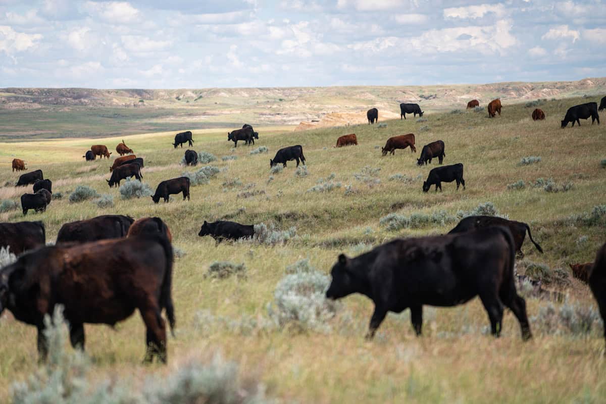
Traditionally, two distinct populations have inhabited the region: pastoralists (or nomads) and sedentary farmers, each with their own cultures but inextricably bound together by trade. Nomads raised cattle and migrated across the Sahara down to the savanna. An intricate structure of markets and division of labor allowed them to use existing resources without destroying the environment.
The Tuareg, for example, were a nomadic tribe that derived income from cattle and trans-Saharan trade. Water wells were owned by the clan that dug them, and the use of water was strictly regulated. A clan’s leader determined the length of time spent at the well and contracted with other clans, granting them rights to use its wells in exchange for rights to use theirs. This provided the Tuareg with a network of wells to support their cattle as they moved along their trade routes.
Although the wells and pasture lands were controlled by the clans, cattle were privately owned. Communal ownership of the pasture led to overgrazing, but limits on the length of time spent at each well constrained the number of cattle that individual households could own. While a system of fully defined property rights was lacking, the system was relatively efficient and insulated its people from natural catastrophes.
The arrival of the French in West Africa in the late nineteenth century altered the agricultural patterns of the Sahel. French policies that emphasized export crops and east-west trade from the interior to Atlantic port cities led more merchants and farmers to abandon trans-Saharan trade.
By the 1920s, the region was showing signs of stagnation. The French implemented a three-pronged development scheme to revitalize the area: digging more wells, conducting veterinary and medical campaigns, and opening new markets in the south (Swift 1977).
As the French dug new wells, they established no clear ownership rights, which led to overgrazing (Sterling 1974). The veterinary and medical campaigns increased the populations of both humans and animals, putting further pressure on the land. With no one to regulate the use of new wells, the larger populations intensified the level of overgrazing. The French hoped that nomads would slaughter more cattle for the market. But to hold on to what wealth they had, the nomads tended to maintain the largest herds possible.
Collectively owned land led to deforestation as well as overgrazing. Forests were depleted as individuals collected wood for burning. Trees and ground cover are necessary to help maintain the soil in the farm lands. Without them, the soil breaks down, gradually turning the area into barren wastelands.
In the 1930s, in an effort to regulate the use of wood, the French nationalized ground cover. The result was the tragedy of the commons. The ground cover was overused and no individuals had an incentive to plant anything more. On gaining independence, the African states maintained this system of nationalized ground cover, with enforcement by forestry officials at the national level. These officials issued permits to cut wood, but enforcement was minimal, and they were open to bribes. The regulated common property, in effect, reverted to an unregulated common property.
The nomads were forced to move farther south in search of better lands, and the slash-and-burn methods they used damaged more land as they advanced. The farmers in the south were forced to search for new farm lands to replace the eroded fields they were using. This led them to cultivate marginal lands, which in the past had been allowed to lie fallow, sometimes for as long as 20 years (Wade 1974). Increased pressure on the land in turn affected the farmers’ ability to grow food. Droughts began to take a greater economic and human toll.
Western aid to the region became more prominent after the drought of 1968 to 1973. Again, medical aid programs intensified the pressure on the land without providing any monitoring system. Wells continued to be a popular aid project. Thousands of wells were dug at $200,000 apiece, increasing the size of herds and the problem of overgrazing. Hundreds of square miles of land were lost from overgrazing and trampling by cattle in search of water and food.
In the mid-1970s, Norman H. McLeod (1976) examined satellite photos of the Sahel. He discovered a pentagon-shaped region that still held its vegetation at the height of the drought. Upon ground-level examination, the region was found to be a French cattle farm, with a mere strand of barbed wire keeping the desert out. Elsewhere, poor policy making and indiscriminate Western aid have weakened the property rights that promote healthy land-use practices.
References
McLeod, Norman H. 1976. Dust in the Sahel: Cause of Drought? In The Politics of Natural Disaster, ed. Michael Glantz. New York: Praeger Publishers.
Morris, Julian. 1995. The Political Economy of Land Degradation. London: Institute of Economic Affairs.
Office of Technology Assessment. 1986. Continuing the Commitment: Agricultural Development in the Sahel�?Special Report, OTA-F-308. Washington, DC: U.S. Government Printing Office, August.
Pearce, Fred. 2002. Africa’s Deserts Are in “Spectacular” Retreat. New Scientist Online News, September 18. Online: www.newscientist.com/hottopics/climate/climate.jsp?id=ns99992811.
Sterling, Claire. 1974. The Making of the Sub-Saharan Wasteland. Atlantic Monthly, May, 98Ð105.
Swift, Jeremy. 1977. Sahelian Pastoralists: Underdevelopment, Desertification, and Famine. Annual Review of Anthropology 6: 457Ð78.
Wade, Nicholas. 1974. Sahelian Drought: No Victory for Western Aid. Science 185: 234Ð37.
This essay is excerpted and updated from a joint article in The Revolution in Development Economics, ed. James A. Dorn, Steve H. Hanke, and Alan A. Walters (Cato Institute 1998).