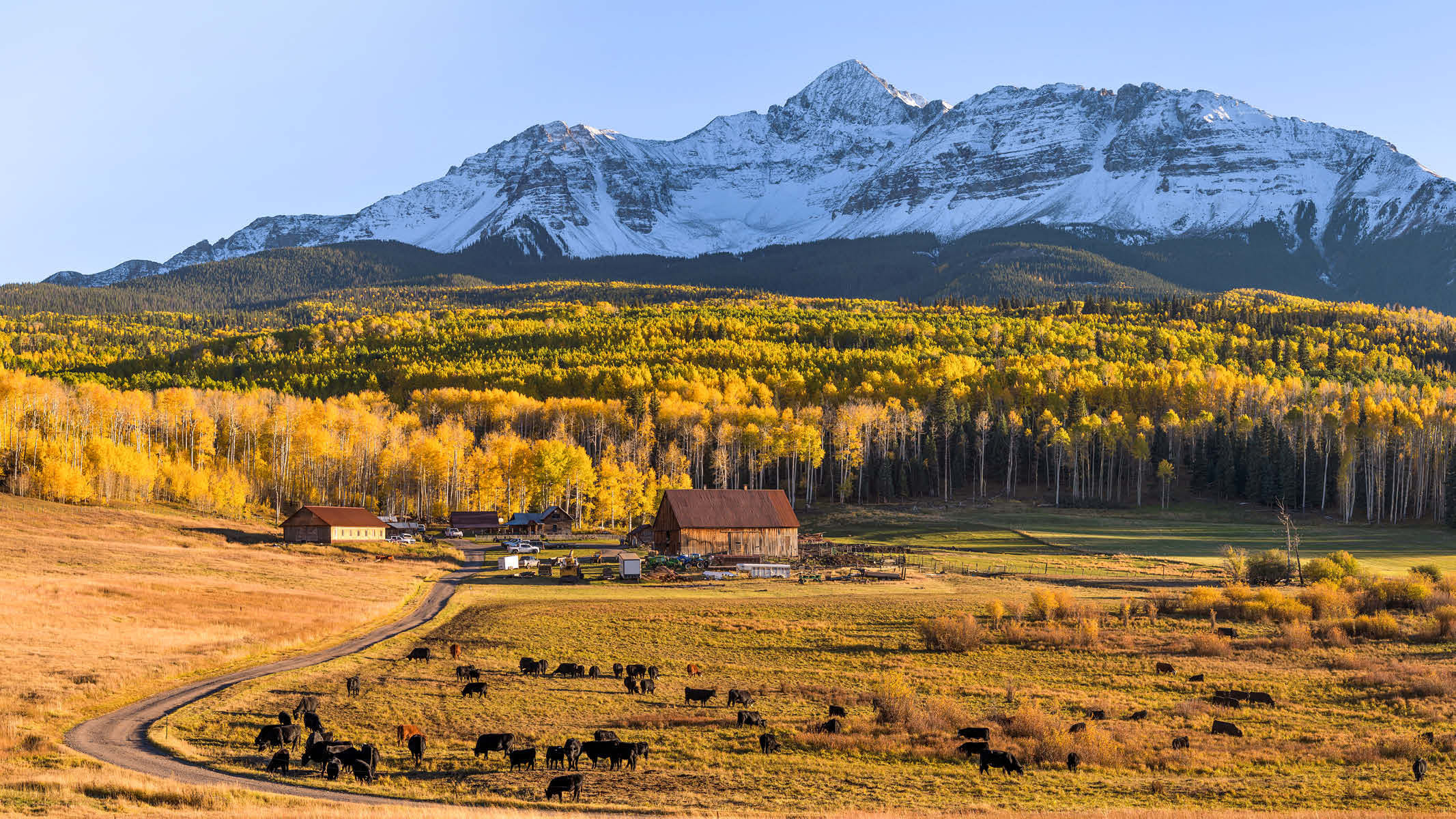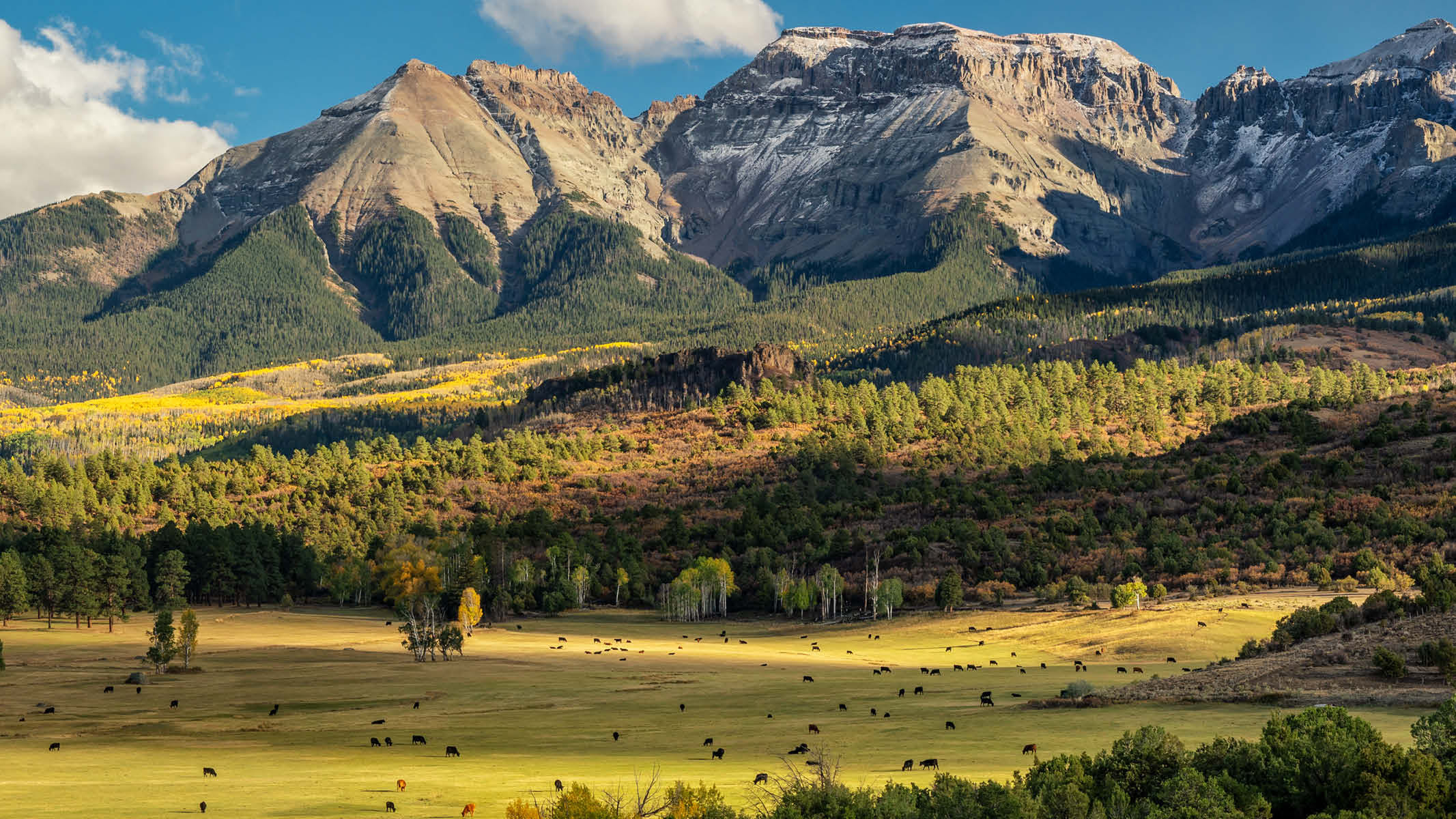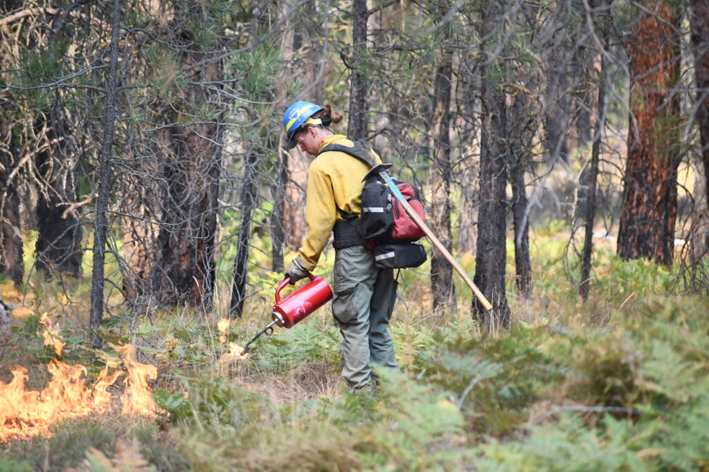
The U.S. Forest Service manages 193 million acres of land, primarily in the fire-prone West. To protect adjacent communities, maintain natural fire regimes, and lower the risk of catastrophic high-intensity fires, the agency conducts proactive treatments to reduce fuel loads on its lands. Less fuel to burn means less intense wildfires. These treatments generally involve removing vegetation mechanically, eliminating fuel with prescribed fire, or a combination of the two. The agency reports that in California alone six to nine million acres of forests need these types of treatments to “increase their resilience to the impacts of disturbances such as wildfire, climate change, invasive species and human population growth.” Across the country, tens of millions additional acres of forestland are at risk and in need of restoration.
To track progress, the Forest Service reports acreage totals for its treatments each year. The number it provides, however, may not be the number you would expect. Due to the way it tallies treated acres, it appears that the agency counts the same acreage more than once.
To illustrate the idea, consider a 2,000-square-foot house whose floors you’re going to clean. Half of the floors only need to be swept, while the other 1,000 square feet need both sweeping and mopping. Once you finish the job, if someone asks how many square feet of floors you’ve cleaned, you would likely answer 2,000 square feet. The method used by the Forest Service, however, would report 3,000 square feet—2,000 square feet of sweeping, plus 1,000 square feet of mopping.
Wildfire treatments are more complicated than cleaning floors. Forestry professionals at the agency determine what combination of mechanical thinning and prescribed burning are needed to mitigate wildfire risk and restore forest function. In many contexts, a full treatment could require the same acre of forest to undergo multiple types of mechanical treatment as well as a prescribed burn.
The Forest Service has not publicly documented its exact methodology for calculating total acres of treatments. But it appears that the agency counts each activity it undertakes on an acre of land as an additional acre treated. Thus, multiple and different treatments on the same acre of land increase the agency’s measure of acres treated. To revisit the house metaphor, it appears that the Forest Service would count sweeping and mopping a single room as if it cleaned two rooms.
There may be good reasons for the Forest Service to track the total amount of treatment. It can be costly to treat the same acre with two different activities, and treating a particularly risky area with multiple activities might reduce fire risk more than doing a single activity over a broader area would. Nonetheless, the way the agency reports numbers to the public risks confusion.
To understand the progress the Forest Service is making toward its aggregate fuel-treatment goals, we have instead calculated the “footprint area” for agency treatments. We mapped every treatment area, shaded them black, and then measured the total darkened area. If an acre of land had first been treated by mechanical thinning and then later received a prescribed burn, that acre was counted as a single treated acre. We believe that this approach avoids potential “double counting” and yields figures analogous to what the general public would understand “total acres treated” to mean.
The table above compares treatment figures reported by the Forest Service to our measure of footprint acres of prescribed burning and mechanical thinning. It covers the years 2013 to 2022. There is a large discrepancy between footprint acres and agency-reported acres, as shown in the “duplicated acres” column. For instance, in 2021, the Forest Service reported treating 3.67 million acres, a total 73 percent higher than the footprint acres treated, which we estimated to be 2.12 million. The Forest Service reports an annual average of 2.93 million acres treated, of which we estimate 1.11 million acres, or 38 percent, involved multiple treatments on the same acre.
We hope that this exercise sheds light on the geographic scope of the challenge facing the Forest Service when it comes to mitigating wildfire risk.
For more on fuel treatments, click here to view PERC's new wildfire risk map.